Data has always been as valuable to farmers as the crops it helps produce. How we access, track and use that data continues to grow alongside our plants with each new generation.
Satellite and weather stations have been around a long time. The first record of a rain gauge dates as far back as 1441! Today farmers mitigate risks, assess crop health and prioritise resources using this technology above ground.
Though soil testing has its roots in the 19th century, updated equipment allows for less hands-on, greater data-driven solutions that farmers across Europe are already employing and utilising on a daily basis. Soil stations bring to fields and crops what satellite and weather stations cannot.
Today we’ll learn the differences between these amazing gadgets, and how a single combination of all three can deliver the best health possible to any field with Paul-Tech.
Satellite and Weather stations — what’s the difference?
These two pieces of tech serve unique, but complementary roles. On-ground weather stations harvest localised data from a specific location, things like temperature, humidity, wind speed, and precipitation at the field level.
Weather stations provide a more general scope of information, broadening the horizon of information to include patterns in weather and larger-scale land conditions. Combined, the two are able to offer a general view of crop health, as well as providing information that can assist in resource management, irrigation needs, crop cover requirements and more.
Weather stations provide farmers with invaluable data not able to be gleaned from local meteorologists; these broadcasts are generally offering information for a large scope of land from a single weather station often found at the closest airport. Temperature, humidity and much more changes at a centralised level, putting a tonne of weight behind your personal weather station(s).
Thankfully you’re not going to have to use a 600-years old rain gauge or understand what a barometer is trying to convey these days. The combination of modern technology and ancient knowledge puts automated suggestions and info into the literal palm of your hands.
Growing Degree Days (GDD) are often the chief factor provided by field-centric weather data. GDD are heat units, directly affecting specific crops development cycles. Being able to analyse and implement your local weather data in this way may benefit your optimal planting times, harvest times, while shortening and strengthening crop growth cycles (not to mention understanding what crops may be best suited for the season).
Gauging (pun intended) the data provided by weather and satellite stations is a requirement for any farmer, and processing that information has never been simpler.
Soil stations — what makes them different from weather stations?
While some in-field weather stations may probe for soil moisture, the technology lives predominantly above ground. And while soil tests may bring similar results to soil stations, they are performed manually, and oftentimes not utilised more than a few times annually (if that).
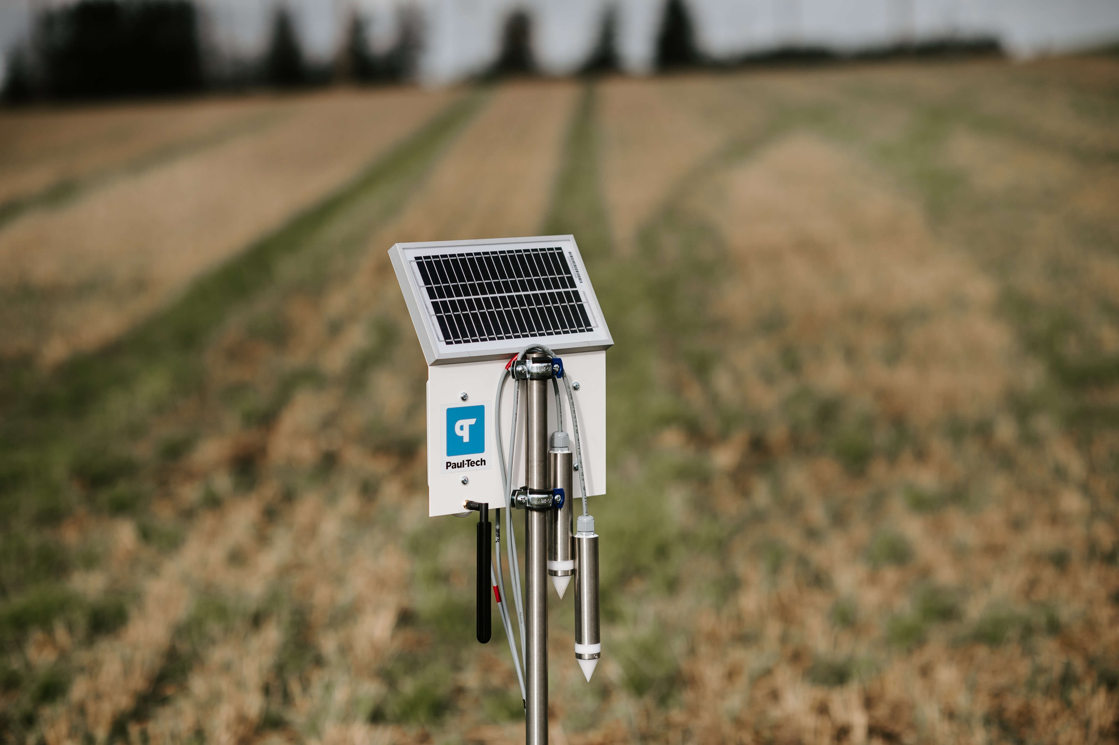
Soil stations are in-field devices with probes that penetrate the earth in various locations. These probes process a bounty of factors in real-time, from nutritional data, to active biomatter, soil moisture and – if you have the right equipment – the invaluable understanding of your plant’s active hydration ability. Something we at Paultech refer to as soilwater.
In fact, Paul-Tech soil stations combine weather, soil and satellite data to offer farmers a variety of knowledge on their field’s daily health:
- Active hydration
- Soil nutrients
- Soil temperature
- Soil moisture
- Conductivity
- Air temperature
- Relative humidity
- NDVI
- Weather forecast
And the list isn’t exhaustive.
Using this technology, farmers can understand when and where to use fertilisers and fungicides much more efficiently, reducing waste and improving the overall quality of the soil and crops that grow in it. Providing this data in real-time means faster, valuable and accurate decision making when it matters most.
How Paul-Tech soil stations provide comprehensive solutions for farmers
Your fields deserve the best of both worlds, without sacrificing the quality of any components in either. Paul-Tech soil stations probe the earth at two various depths, analyse your field-centric weather data and process satellite information simultaneously — all in real-time.
Paul-Tech lets you:
- Use cloud-based data to access constantly updated suggestions, information, maps and historic reports from any device.
- Get a better hold of your resource use by understanding what’s best for your crops and soil in-the-moment (not after it’s passed).
- Save money, time and resources through a better understanding of field nutrition and hydration, as well as crop nutrition and moisture intake.
- Rest peacefully with our supporting team standing beside you, backed by over 30 years of science and research.
Book a free demo on-site or online with us today to understand how Paul-Tech soil stations will make your next season the strongest yet.